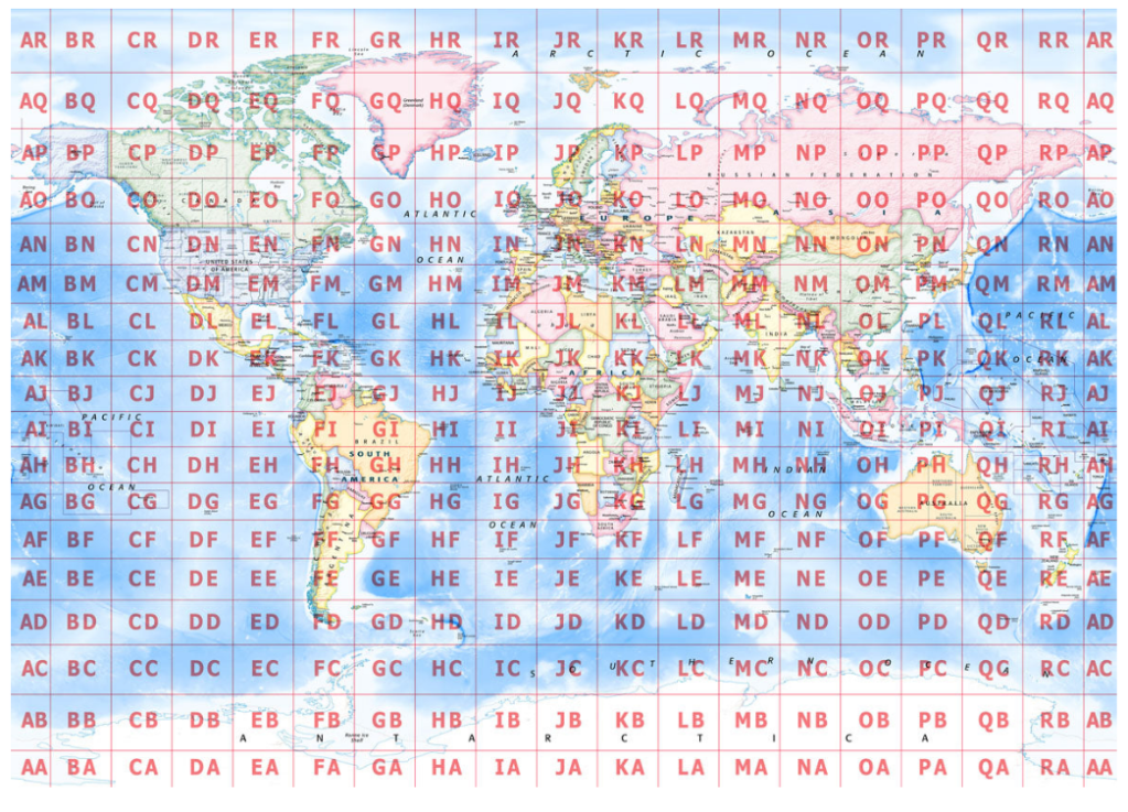
World Grid Square Location Map
The Maidenhead Grid Square system is a geocode system used to describe geographic coordinates.
It was developed in 1980 at a conference in Maidenhead, England, to replace an older system (QRA locator) that was limited to European contacts.
It is used primarily by Ham Radio operators, world wide.
Concise Location Description: Instead of transmitting long strings of latitude and longitude, a short alphanumeric code (like “FN20” or “EM15ef”) can quickly convey a station’s location. This is especially useful during radio contests or when communication conditions are challenging
Pro tip: Operating FT8? Watch the CQ grid square notation — for those DX callers.
